Showing posts with label Geology. Show all posts
Showing posts with label Geology. Show all posts
Monday, 12 March 2012
Next Geology Field Trip on Tuesday 20th March
Yesterday's geology field trip with Prof Skelton was a great success. The format of the next proposed trip is to be the same on 20th March, with visits to both Bunnahabhain and Port Ellen proposed. We still have some places left so if you would like to join us then please either call the centre on 01496 850288 and leave a message, or contact us via email on manager@islaynaturalhistory.org


Geology Field Trip Report
 |
| Fourteen of us joined Professor Alasdair Skelton and his post-grad student Vincent for a Geology trip based around two sites, the first being a location just south of Bunnahabhain. |
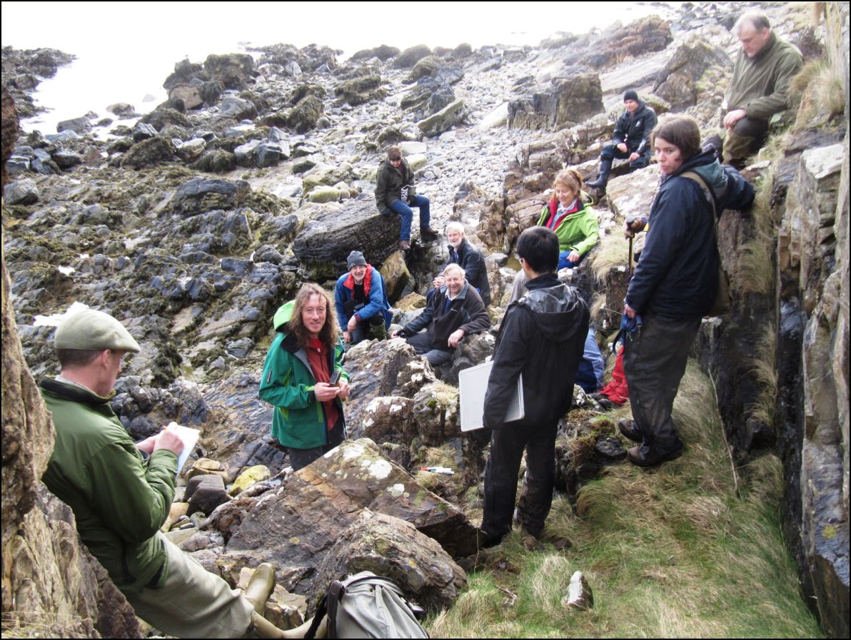 |
| We enjoyed a fascinating overview of both first principles of geological classification, and also a truly memorable demonstration of how the eastern half of Islay was formed, using a set of coloured rubber mats and a map. |
 |
| We had a close look at the remains of the Wyre Majestic, the Fleetwood trawler that ran onto the rocks here back in 1973. |
 |
| The weather was kind overall, and we enjoyed some spectacular views down the Sound of Islay |
 |
| One of the many highlights of the day were these fossil stromatolites, some of the most ancient (and successful) living things on the planet. |
 |
| Our second location was the Ard near Port Ellen where Alasdair had conducted the research for his pHD. |
 |
| This was an exploration of how carbon dioxide, formed from the remains of organisms that lived around 700 million ago years, became trapped in rock 30kms below the earths surface and then escaped. Or something like that..!! - Carl |
Friday, 17 February 2012
Change of Date for Geology Field Trip
Unforseen circumstances mean that we need to change the date of one of Prof Alasdair Skelton's field trips from Friday 16th March to Sunday 11th March. He will now be leading parties to Bunnahabhain on 11th March and Port Ellen on Tuesday 20th March. Click on thumbnail to the right for more details.
Carl
Carl
Friday, 10 February 2012
Geology Field Trips with Professor Alasdair Skelton

Following Alasdair's highly successful presentation to the Trust entitled 'Geology of Islay' in June of last year, he has kindly volunteered to conduct two field trips for the Trust, on Sunday 11th and Tuesday 20th March.
The exact details are still to be confirmed but the preliminary schedule indicates that on 11th, Alasdair will have one mini-bus available, and will conduct a trip to Bunnahabhain. On 20th, there will be three mini buses available and the trip will be to the Port Ellen area.
Each excursion will take 5-6 hours, departing Port Charlotte at 10.00 with pickups potentially being possible in Bridgend, Bowmore and Port Ellen. The buses would return to Port Charlotte at around 4.00pm.
Alasdair tells us that: "Participants will need packed lunches, sturdy footwear, Islay-proof clothing, a sense of humour and participate entirely at their own risk. There will be no cost, but you are of course welcome to take donations for INHT".
All of which sounds like a couple of great days out. Booking will be essential. Please contact us at manager@islaynaturalhistory.org or call 01496 850288 to leave a message with your contact details.
Friday, 17 June 2011
Professor Alasdair Skelton

An audience of over one hundred packed into the Centre yesterday evening to hear a presentation entitled 'The Geology of Islay' by Professor Alasdair Skelton of the University of Stockholm. Alasdair's talk was highly entertaining as well as informative and the Trust appreciates his efforts.
Alasdair has a long association with Islay - research for his PhD centred on the geology of the Ard peninsular near Port Ellen during the 1980's and he has visited a number of times since both with his family and with groups of students from Stockholm.
He is proposing to bring another group during March 2012, and has offered to conduct geology field trips for people on Islay at that time. We will bring you more details of this as arrangements firm up.
Carl

Wednesday, 15 June 2011

Sunday, 13 February 2011
Uiskentuie strand
As you drive along the Uiskentuie Strand there is a steeply sloping, and in places scrub-covered, bank on the inland side. This is often (and wrongly) referred to as a raised beach. It is in fact the outwash from a glacier, a mass of stones and sand deposited by a river that flowed out of a glacier that once extended over this area. As the glacier retreated, it left all this behind. If you climb up the bank, you will see that it is up to 300 metres wide at the western end, with run-rig and old peat diggings on the top.
With the melting of the ice (once a kilometre or more thick), the sea-level rose as much as 30 metres, flowing over the bank (the trig point on it stands at 29 metres) and then gradually eroding it into the present-day steep slope as the sea-level fell. The final act of the sea, some 6,000 years ago, was to deposit a series of four gravel ridges close to the foot of the bank. There was once (1920s to 1930s and perhaps earlier) a nine-hole golf course on the ground between the bank and the road here. Even today, one occasionally sees a golfer practising his swing and knocking balls about, while passing motorists keep a very wary eye open for them!
Much of the above came from the booklet 'A Guide to the Geology of Islay' by Alex Maltman and others. Available to purchase at the INHT Centre.
Malcolm
 |
| Uiskentuie Strand with eroded bank of glacial outwash |
 |
| The top of the bank showing run-rig and, in the distance, old peat diggings |
Subscribe to:
Posts (Atom)